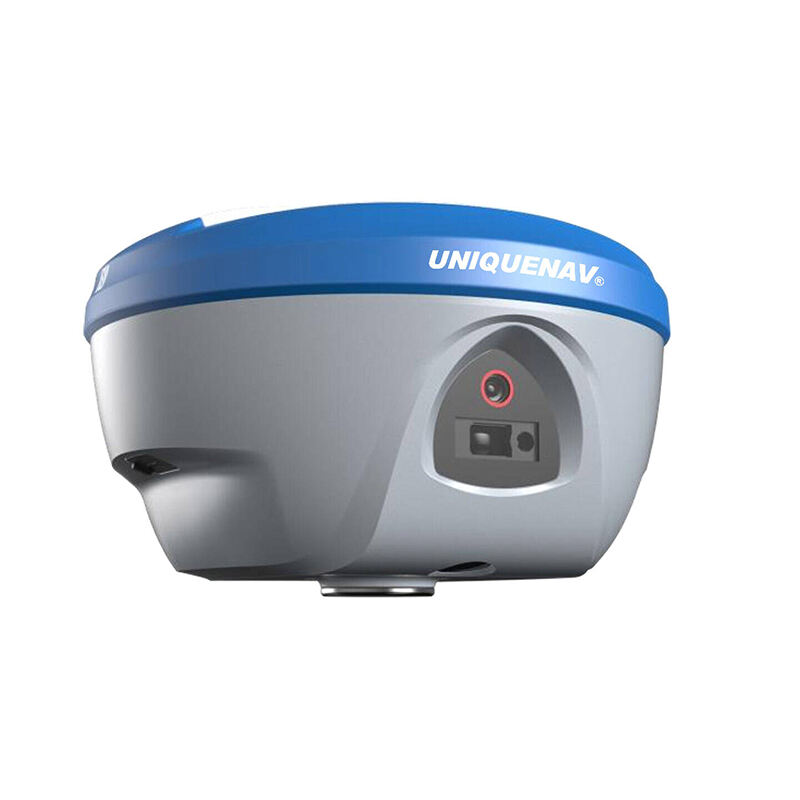
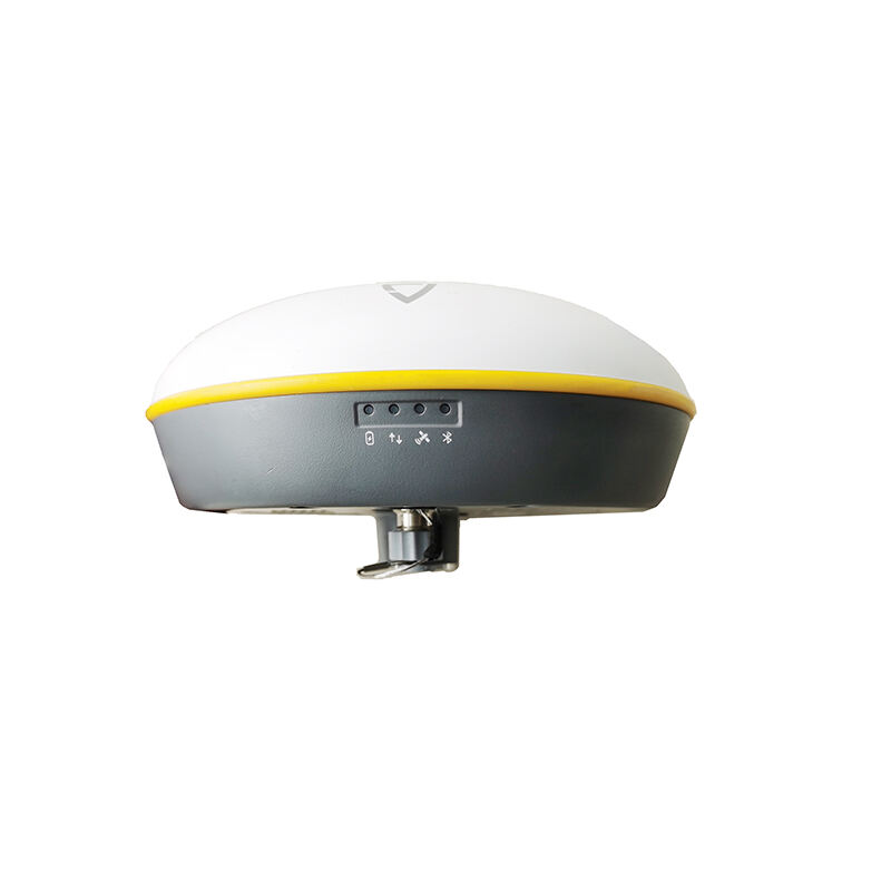
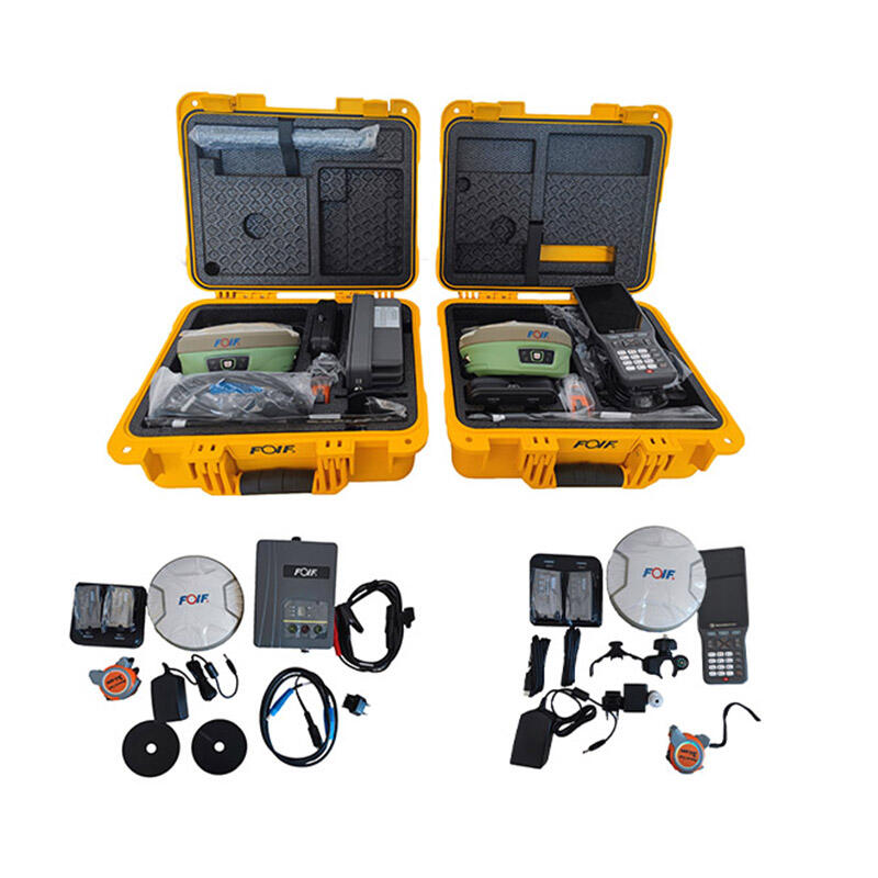
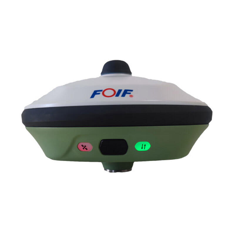
rtk gps
Real-Time Kinematic (RTK) GPS represents a significant advancement in positioning technology, delivering centimeter-level accuracy for various applications. This sophisticated system uses a complex network of base stations and rovers to provide precise positioning data in real-time. The base station, positioned at a known fixed location, transmits correction data to mobile rovers, enabling them to achieve unprecedented accuracy levels. RTK GPS technology operates by processing both the carrier phase and code measurements from GPS satellites, while simultaneously correcting for atmospheric interference, satellite orbit errors, and other potential sources of positioning inaccuracy. The system's ability to provide real-time corrections makes it invaluable for applications requiring precise positioning data. Modern RTK GPS systems typically achieve horizontal accuracy within 1-2 centimeters and vertical accuracy within 2-3 centimeters, making them essential tools in surveying, precision agriculture, construction, and various other industries requiring exact positioning. The technology incorporates advanced algorithms that process multiple satellite signals simultaneously, ensuring reliable performance even in challenging environments. Additionally, RTK GPS systems often integrate with other satellite navigation systems like GLONASS, Galileo, and BeiDou, enhancing their reliability and coverage.