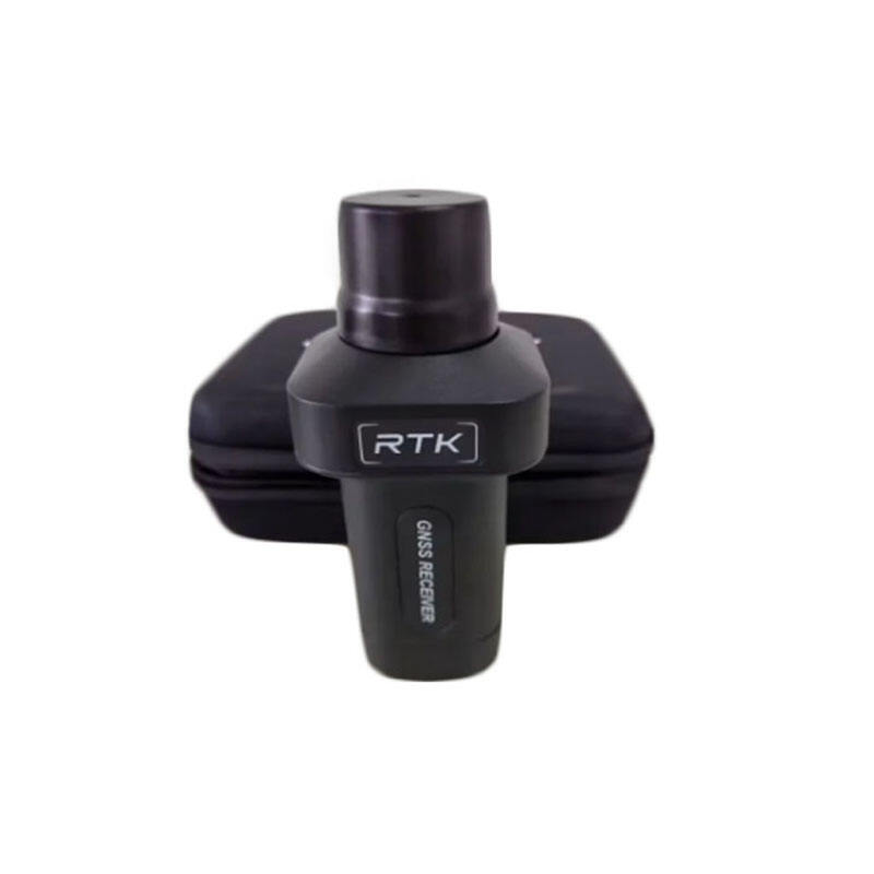
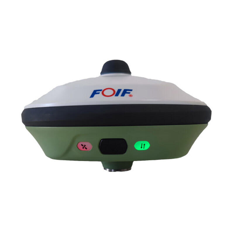
Low Cost GNSS RTK: Professional-Grade Positioning Accuracy at Affordable Prices

All Categories

low cost gnss rtk

Low cost GNSS RTK (Global Navigation Satellite System Real-Time Kinematic) technology represents a revolutionary advancement in precise positioning systems, making high-accuracy GPS solutions accessible to a broader market. This technology combines affordable hardware components with sophisticated algorithms to deliver centimeter-level positioning accuracy. The system typically consists of a base station and rover units that communicate in real-time to provide precise position data. By utilizing multiple satellite constellations including GPS, GLONASS, Galileo, and BeiDou, these systems achieve enhanced reliability and accuracy. The base station remains at a known fixed position, continuously transmitting correction data to the rover units, which can be mobile and used for various applications. Modern low cost GNSS RTK systems incorporate advanced error correction mechanisms, multipath mitigation techniques, and robust communication protocols to ensure reliable performance. These systems commonly feature user-friendly interfaces, wireless connectivity options, and compatibility with various data collection devices. The technology has found widespread application in precision agriculture, construction surveying, GIS mapping, and autonomous vehicle navigation, offering a cost-effective alternative to traditional high-end RTK systems while maintaining professional-grade accuracy.

New Products

Low cost GNSS RTK systems offer numerous compelling advantages that make them an attractive solution for both professional and emerging applications. The most significant benefit is the dramatic reduction in initial investment costs compared to traditional RTK systems, making precise positioning technology accessible to smaller businesses and individual users. These systems maintain impressive accuracy levels of 1-2 centimeters in ideal conditions, rivaling their more expensive counterparts. The equipment is typically lighter and more portable, facilitating easier deployment and operation in various field conditions. Modern low cost RTK solutions feature simplified setup procedures and user-friendly interfaces, reducing the learning curve for new users and minimizing the need for extensive technical training. The systems often include integrated wireless communication capabilities, enabling seamless data transfer and real-time corrections. Many models offer extended battery life and robust construction, ensuring reliable operation in challenging environments. The compatibility with multiple satellite constellations enhances performance in areas with limited sky visibility. These systems frequently support standard data formats and protocols, allowing integration with existing software and workflows. Regular firmware updates and software improvements ensure the technology remains current and capable of handling evolving requirements. The scalability of low cost RTK solutions enables users to start with basic setups and expand their capabilities as needed, providing a future-proof investment. The reduced maintenance costs and availability of replacement parts further enhance the long-term value proposition of these systems.

Practical Tips

How to Set Up and Calibrate an Android Total Station?

21

Mar

How to Set Up and Calibrate an Android Total Station?

View More
Auto Level vs. Digital Level: Choosing the Right Tool

21

Mar

Auto Level vs. Digital Level: Choosing the Right Tool

View More
What are the key differences between GNSS RTK and PPP?

25

Mar

What are the key differences between GNSS RTK and PPP?

View More
How to Choose a Total Station Suitable for Engineering Needs?

22

Apr

How to Choose a Total Station Suitable for Engineering Needs?

View More

Get a Free Quote

Our representative will contact you soon.
Email
Name
Company Name
Message
0/1000

low cost gnss rtk

Advanced Multi-Constellation Support

Advanced Multi-Constellation Support

Low cost GNSS RTK systems excel in their ability to simultaneously track and process signals from multiple satellite constellations. This advanced feature significantly enhances positioning reliability and accuracy by increasing the number of available satellites for position calculation. The system can seamlessly integrate signals from GPS, GLONASS, Galileo, and BeiDou constellations, ensuring optimal performance even in challenging environments with partial sky visibility. This multi-constellation support enables faster initialization times and more stable RTK solutions, particularly in urban canyons or areas with overhead obstructions. The ability to utilize multiple constellations also provides redundancy, ensuring continued operation if one constellation experiences issues or maintenance downtime. This feature represents a significant advancement in democratizing high-precision positioning technology, making it accessible to a broader range of applications while maintaining professional-grade performance.
Cost-Effective Precision Performance

Cost-Effective Precision Performance

The revolutionary aspect of low cost GNSS RTK systems lies in their ability to deliver centimeter-level accuracy at a fraction of the cost of traditional systems. This achievement is made possible through innovative hardware design, optimized signal processing algorithms, and efficient manufacturing processes. The systems employ modern electronic components and intelligent software solutions to maintain high accuracy while reducing overall system costs. Despite the lower price point, these systems incorporate professional-grade features such as advanced error correction, multipath mitigation, and robust communication protocols. The cost-effectiveness extends beyond the initial purchase, with reduced maintenance requirements and lower operating costs. This combination of affordable pricing and high performance has opened new possibilities for applications that previously couldn't justify the expense of traditional RTK systems.
User-Friendly Implementation

User-Friendly Implementation

Modern low cost GNSS RTK systems are designed with user experience as a primary consideration. The systems feature intuitive interfaces and straightforward setup procedures that significantly reduce the complexity of deployment and operation. Built-in configuration wizards guide users through the initial setup process, while automated calibration routines ensure optimal performance with minimal user intervention. The systems typically include comprehensive mobile apps or desktop software that simplify data collection and management tasks. Wireless connectivity options enable seamless integration with existing devices and networks, while standard data formats ensure compatibility with popular mapping and surveying software. The reduced complexity of operation doesn't compromise system capabilities, as these user-friendly features are balanced with professional-grade functionality and customization options for advanced users.