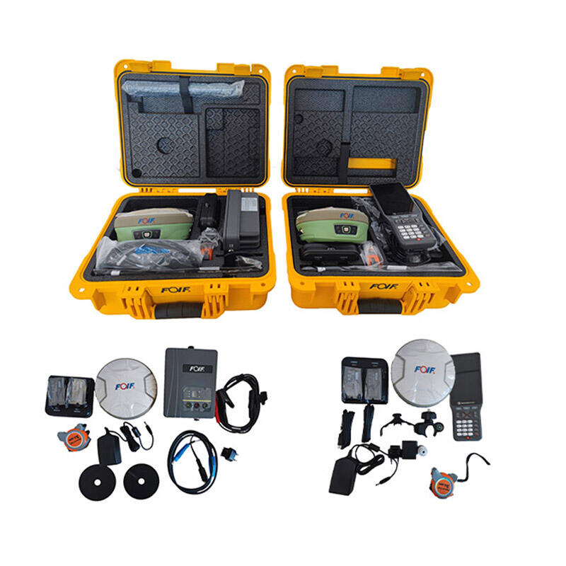
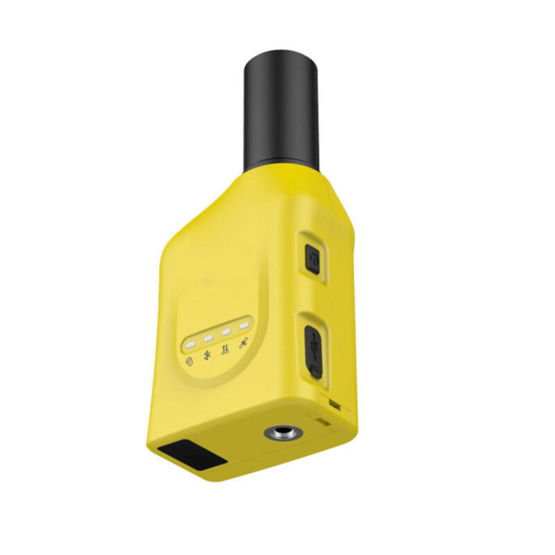
rtk gnss accuracy
RTK GNSS (Real-Time Kinematic Global Navigation Satellite System) accuracy represents a significant advancement in precision positioning technology, offering centimeter-level accuracy in real-time. This sophisticated system utilizes carrier-phase measurements from satellite signals, combined with corrections from a base station or network, to achieve unprecedented accuracy in position determination. The technology operates by comparing satellite signals received at both a base station and a rover unit, eliminating common errors and providing highly precise positioning data. RTK GNSS accuracy typically achieves horizontal accuracies of 1-2 centimeters and vertical accuracies of 2-3 centimeters under optimal conditions. The system processes complex algorithms in real-time, making continuous adjustments to maintain accuracy levels even in dynamic applications. This technology has revolutionized various industries, including precision agriculture, construction, surveying, and mapping. The system's ability to provide instant, highly accurate positioning data has made it invaluable for applications requiring precise measurements and navigation. RTK GNSS technology incorporates multiple satellite constellations, including GPS, GLONASS, Galileo, and BeiDou, enhancing reliability and accuracy through increased satellite visibility and geometric diversity.


