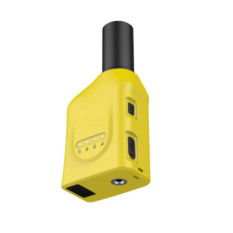
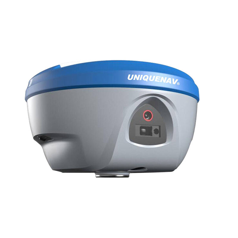
GNSS RTK System: Precision Positioning Solutions for Professional Applications

All Categories

gnss rtk system

GNSS RTK (Global Navigation Satellite System Real-Time Kinematic) represents a cutting-edge positioning technology that delivers centimeter-level accuracy in real-time. This sophisticated system operates by utilizing two GNSS receivers: a base station at a known location and a rover unit that moves around collecting positioning data. The base station transmits correction data to the rover, enabling it to achieve highly precise positioning by comparing satellite signals and eliminating common errors. The system processes carrier phase measurements from multiple satellite constellations, including GPS, GLONASS, Galileo, and BeiDou, ensuring robust performance and reliability across diverse environments. RTK technology employs sophisticated algorithms to resolve integer ambiguities and calculate precise positions, typically achieving accuracy levels of 1-2 centimeters horizontally and 2-3 centimeters vertically. This remarkable precision makes GNSS RTK systems invaluable in various applications, from precision agriculture and construction to surveying and mapping. The system operates in real-time, providing instant position updates at rates typically between 1-20 Hz, making it suitable for dynamic applications requiring continuous positioning data.

New Product Recommendations

The GNSS RTK system offers numerous compelling advantages that make it an indispensable tool across various industries. First and foremost, its ability to provide centimeter-level accuracy in real-time sets it apart from traditional positioning methods, enabling precise operations without post-processing requirements. This immediate accuracy allows for on-the-spot decision-making and efficient workflow management. The system's versatility is another significant advantage, as it can operate effectively in various environments and weather conditions, maintaining consistent performance throughout the day. Cost-effectiveness is achieved through reduced labor requirements and increased productivity, as a single operator can accomplish tasks that traditionally required multiple personnel. The multi-constellation capability ensures reliable positioning even in challenging environments where satellite visibility might be limited. The system's compatibility with modern equipment and software platforms enables seamless integration into existing workflows, enhancing operational efficiency. Real-time data updates allow for immediate quality control and verification, reducing errors and rework requirements. The technology's scalability means it can be deployed in both small-scale projects and large-scale operations without compromising accuracy or performance. Additionally, the system's user-friendly interface and automated features reduce the learning curve for new operators, enabling quick adoption and implementation. The ability to store and export data in various formats facilitates easy documentation and reporting, while the system's robust design ensures reliable operation in demanding field conditions.

Latest News

What Are the Benefits of Using an Android Total Station?

21

Mar

What Are the Benefits of Using an Android Total Station?

View More
What are the key differences between GNSS RTK and PPP?

25

Mar

What are the key differences between GNSS RTK and PPP?

View More
How to choose the right RTK GNSS equipment?

22

Apr

How to choose the right RTK GNSS equipment?

View More
How to Choose a Total Station Suitable for Engineering Needs?

22

Apr

How to Choose a Total Station Suitable for Engineering Needs?

View More

Get a Free Quote

Our representative will contact you soon.
Email
Name
Company Name
Message
0/1000

gnss rtk system

Unmatched Precision and Reliability

Unmatched Precision and Reliability

The GNSS RTK system's remarkable precision capabilities stand as its defining feature, consistently delivering centimeter-level accuracy that transforms how precision-dependent tasks are performed. This exceptional accuracy is achieved through sophisticated error correction algorithms and real-time data processing, enabling users to conduct highly precise measurements and operations with confidence. The system maintains this accuracy even in challenging environments, thanks to its ability to track multiple satellite constellations simultaneously. This redundancy ensures reliable positioning data even when some satellites are obscured by obstacles or atmospheric conditions. The system's robust error detection and correction mechanisms continuously monitor signal quality and automatically adjust for optimal performance, providing users with dependable results they can trust for critical decisions and operations.
Real-Time Processing and Instant Results

Real-Time Processing and Instant Results

The real-time processing capability of GNSS RTK systems represents a revolutionary advancement in positioning technology, eliminating the need for time-consuming post-processing procedures. This instant availability of precise positioning data enables immediate decision-making and on-the-fly adjustments, significantly improving operational efficiency. The system processes and delivers position updates at high frequencies, typically up to 20 Hz, ensuring smooth tracking of moving objects and continuous monitoring of dynamic situations. This real-time capability is particularly valuable in applications requiring immediate feedback, such as machine guidance, stake-out operations, and quality control measurements. The system's low latency ensures that position information is always current and relevant, enabling precise timing-critical operations.
Versatile Integration and Connectivity

Versatile Integration and Connectivity

The GNSS RTK system excels in its ability to integrate seamlessly with various hardware platforms and software solutions, making it an incredibly versatile tool for modern positioning applications. The system supports multiple communication protocols and data formats, enabling easy integration with existing workflow management systems and third-party applications. This flexibility allows organizations to leverage their current technology investments while adding high-precision positioning capabilities. The system's advanced connectivity options, including cellular, radio, and internet-based correction services, provide users with multiple choices for receiving RTK corrections, ensuring optimal performance across different operating environments. The ability to export data in industry-standard formats facilitates smooth data exchange and compatibility with various analysis and documentation tools.