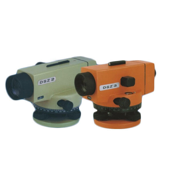
Professional Theodolite: High-Precision Surveying Instrument for Advanced Measurement Solutions

All Categories

theodolite machine

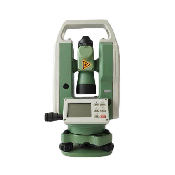
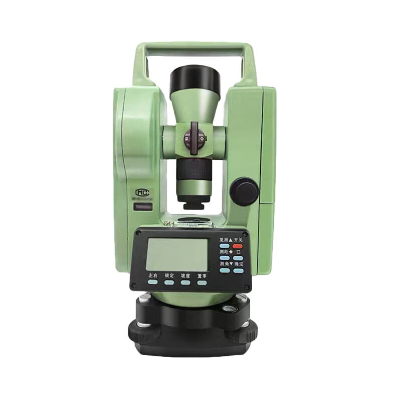
A theodolite is a precision optical instrument designed for measuring both horizontal and vertical angles in surveying and engineering applications. This sophisticated device consists of a telescope mounted within two perpendicular axes, allowing for precise angular measurements in both horizontal and vertical planes. The modern electronic theodolite incorporates advanced digital technology, featuring electronic angle sensors, microprocessors, and digital displays that provide highly accurate readings. The telescope component is equipped with high-quality optics and crosshairs for precise targeting, while the base includes a leveling system with bubble vials to ensure accurate positioning. These instruments typically offer accuracy levels ranging from 1 to 20 arc seconds, making them essential tools for construction, engineering, and land surveying projects. The device's primary functions include measuring angles, establishing straight lines, determining elevation differences, and setting out horizontal angles for construction alignment. Modern theodolites often include additional features such as electronic data storage, automatic compensation for slight misalignments, and the ability to interface with other surveying equipment. These capabilities make them invaluable for applications ranging from building construction and road layout to tunnel alignment and mining surveys.
Popular Products

The theodolite machine offers numerous practical advantages that make it an indispensable tool for surveying and construction professionals. First, its exceptional accuracy in measuring both horizontal and vertical angles, typically within seconds of arc, ensures precise measurements for critical projects. The digital display eliminates reading errors common with older optical instruments, while automated calculations reduce the possibility of human error in computations. Modern theodolites feature onboard data storage capabilities, allowing surveyors to record measurements directly to memory for later transfer to computers, streamlining the workflow and reducing the risk of transcription errors. The instrument's durability and weather-resistant construction ensure reliable operation in various environmental conditions, from bright sunlight to overcast days. Electronic theodolites often include automatic compensation systems that adjust for slight leveling errors, saving time during setup and improving measurement reliability. The integration capabilities with other survey equipment, such as GPS systems and data collectors, enhance productivity by enabling comprehensive survey solutions. The user-friendly interface reduces training time and improves efficiency in the field, while the ability to perform multiple measurement types with a single instrument reduces equipment costs and setup time. Advanced models often include features like laser pointing capabilities, making it easier to identify targets in challenging conditions, and bluetooth connectivity for wireless data transfer. These advantages combine to offer significant time savings, improved accuracy, and enhanced productivity for surveying and construction projects of all sizes.

Practical Tips

How to Set Up and Calibrate an Android Total Station?

21

Mar

How to Set Up and Calibrate an Android Total Station?

View More
What are the common error sources in GNSS RTK positioning and how to mitigate them?

21

Mar

What are the common error sources in GNSS RTK positioning and how to mitigate them?

View More
Auto Level vs. Digital Level: Choosing the Right Tool

21

Mar

Auto Level vs. Digital Level: Choosing the Right Tool

View More
Laser RTK vs GNSS: Which One Is Better?

22

Apr

Laser RTK vs GNSS: Which One Is Better?

View More

Get a Free Quote

Our representative will contact you soon.
Email
Name
Company Name
Message
0/1000

theodolite machine

Advanced Digital Measurement Technology

Advanced Digital Measurement Technology

Modern theodolites incorporate state-of-the-art digital measurement technology that revolutionizes the surveying process. At the heart of this technology is a sophisticated electronic angle measurement system that utilizes precision encoders to detect angular positions with remarkable accuracy. These encoders convert rotational movement into digital signals, providing readings with accuracy up to 0.5 arc seconds. The digital display system eliminates parallax errors common in optical reading systems and provides clear, unambiguous measurements in various lighting conditions. The integration of microprocessors enables real-time processing of measurements, automatic error compensation, and instant conversion between different angle formats. This technology also allows for automatic atmospheric corrections and provides built-in checking procedures to verify measurement accuracy.
Comprehensive Data Management System

Comprehensive Data Management System

The data management capabilities of modern theodolites represent a significant advancement in surveying efficiency. Each instrument includes robust internal memory that can store thousands of measurements, complete with point numbers, codes, and timestamps. The system allows for customizable coding schemes that streamline the organization of survey data and facilitate easier post-processing. Built-in software enables immediate calculation of coordinates, elevations, and distances, while sophisticated error-checking algorithms help identify potential measurement issues in real-time. The ability to transfer data wirelessly to external devices through Bluetooth or WiFi connections eliminates the need for manual data recording and reduces the potential for transcription errors. This integrated approach to data management significantly reduces the time required for post-survey processing and improves overall project efficiency.
Enhanced Field Operation Capabilities

Enhanced Field Operation Capabilities

Modern theodolites excel in field operations through a combination of practical features designed to enhance usability and reliability. The instruments incorporate advanced optical systems with high-quality coated lenses that provide exceptional clarity and contrast, even in challenging lighting conditions. Automated compensators continuously monitor and adjust for slight movements or settling of the instrument, ensuring measurement accuracy without constant manual releveling. The ergonomic design includes tactile buttons and intuitive menu systems that can be operated while wearing gloves, making field operation efficient in various weather conditions. Power management systems provide extended battery life, often exceeding 20 hours of continuous operation, with quick-change battery packs for uninterrupted surveying. Additionally, robust environmental sealing protects against dust and moisture, ensuring reliable operation in adverse weather conditions.