gps and total station
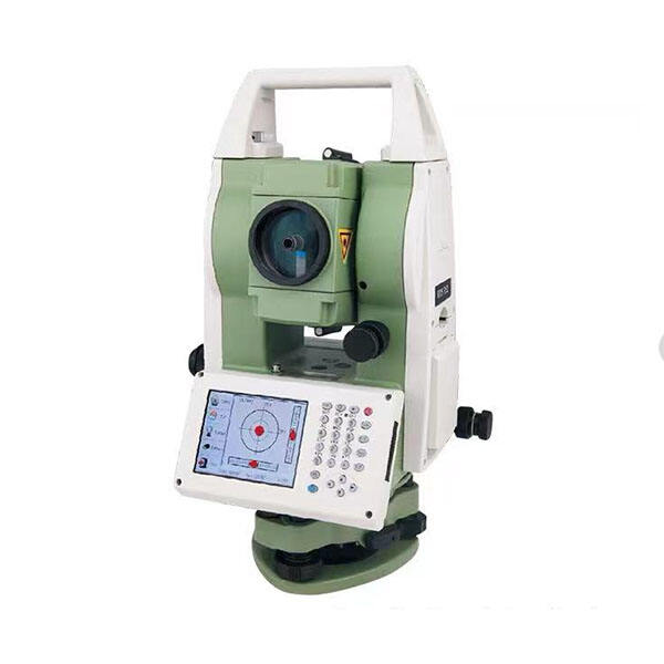
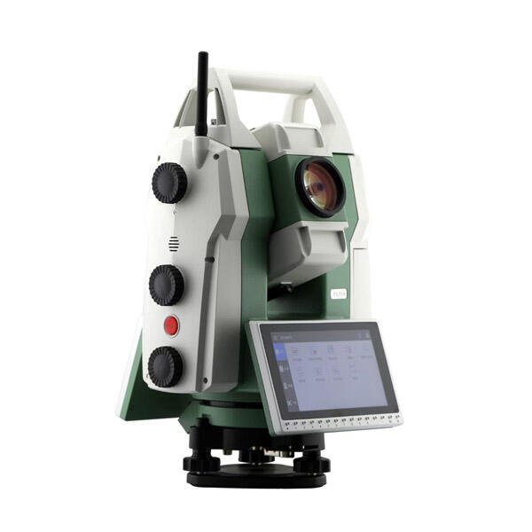
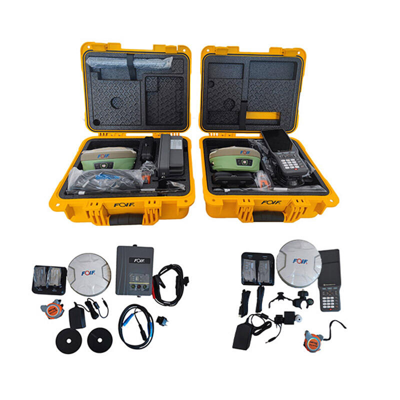
GPS and total station instruments represent cutting-edge surveying technology that revolutionizes land measurement and positioning tasks. A GPS (Global Positioning System) utilizes satellite signals to determine precise locations, offering global coverage and real-time positioning capabilities. The total station combines electronic distance measurement with angular measurements to provide accurate coordinates and elevations. These instruments work together seamlessly, with the GPS providing rapid positioning over large areas while the total station delivers millimeter-level precision for detailed surveys. Modern systems integrate both technologies, allowing surveyors to switch between methods based on site conditions and accuracy requirements. The equipment features advanced data collection capabilities, wireless connectivity, and robust software solutions for processing and analyzing measurement data. They are essential tools in construction, engineering, mapping, and infrastructure development projects. The integration of these technologies enables faster project completion, reduced human error, and improved documentation of survey results. Both instruments are designed with user-friendly interfaces, making them accessible to professionals while maintaining high precision standards. Their applications span across various industries, from basic topographic surveys to complex construction layout and monitoring tasks.