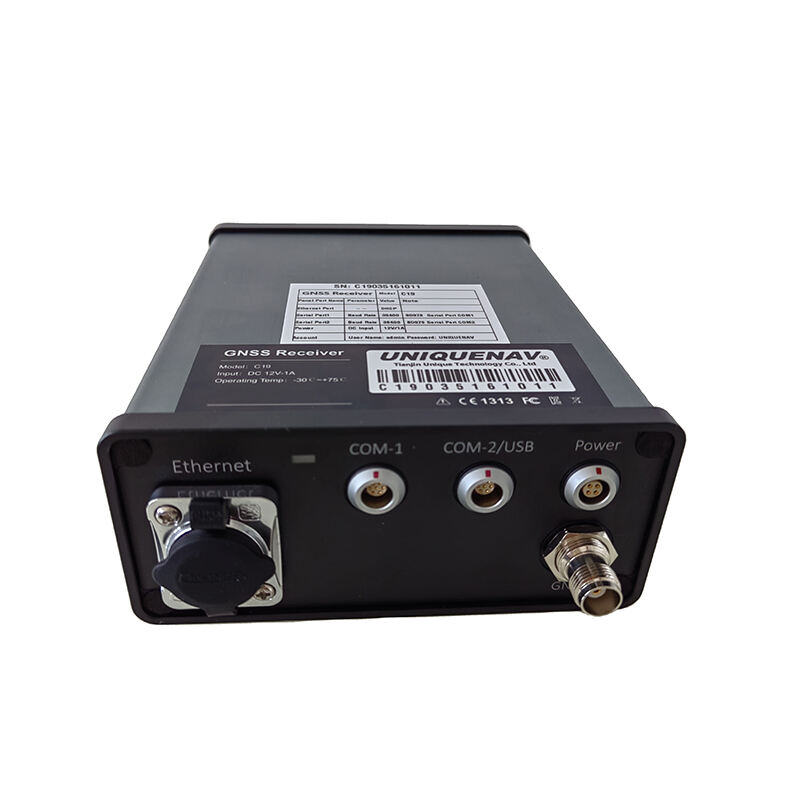
Professional Laser Theodolite: High-Precision Surveying Technology for Modern Applications

All Categories

laser theodolite

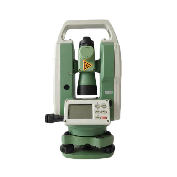
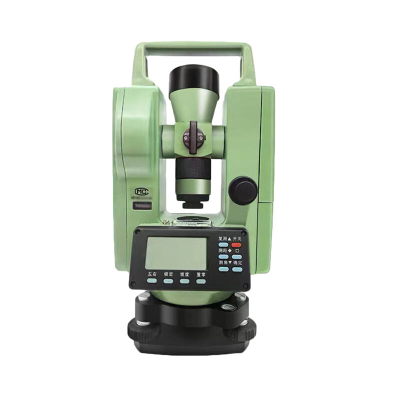
A laser theodolite represents a sophisticated surveying instrument that combines traditional theodolite technology with advanced laser capabilities. This precision instrument integrates electronic distance measurement with angular measurements to provide highly accurate positional data. The device employs a focused laser beam to measure distances and angles simultaneously, offering unprecedented accuracy in surveying applications. The laser theodolite features a digital display that shows real-time measurements, complete with automatic error compensation and built-in data storage capabilities. Its core components include a high-precision laser emitter, electronic angle sensors, and sophisticated optical systems that work in concert to deliver reliable measurements. The instrument can measure both horizontal and vertical angles while simultaneously calculating distances using laser technology, making it an invaluable tool for modern surveying projects. The device typically includes features such as automatic target recognition, digital level compensation, and wireless data transfer capabilities. These advanced features enable surveyors to collect and process data more efficiently than ever before, reducing the time required for field operations while maintaining exceptional accuracy standards.
New Products

The laser theodolite offers numerous practical advantages that make it an indispensable tool for modern surveying work. First, its automated measurement capabilities significantly reduce the time required for field surveys, allowing professionals to complete projects more efficiently. The digital nature of the instrument eliminates manual reading errors and provides instant results with exceptional accuracy. Users benefit from the ability to store thousands of measurement points directly in the device's memory, which can later be transferred to computers for analysis and documentation. The laser technology enables measurements to be taken without physically accessing the target point, making it safer and more practical for challenging terrain or hazardous environments. The instrument's advanced error compensation systems automatically account for environmental factors and instrument tilts, ensuring reliable results even in less-than-ideal conditions. Its user-friendly interface reduces the learning curve for new operators while providing advanced features for experienced surveyors. The wireless connectivity options allow seamless integration with other survey equipment and data processing software, creating a more streamlined workflow. The durability and weather-resistant construction ensure reliable operation in various environmental conditions, while the long battery life supports extended field operations. The combination of laser precision and digital processing delivers consistently accurate results, reducing the need for repeated measurements and saving valuable time and resources.

Latest News

How to Set Up and Calibrate an Android Total Station?

21

Mar

How to Set Up and Calibrate an Android Total Station?

View More
Auto Level vs. Digital Level: Choosing the Right Tool

21

Mar

Auto Level vs. Digital Level: Choosing the Right Tool

View More
How to Choose a Total Station Suitable for Engineering Needs?

22

Apr

How to Choose a Total Station Suitable for Engineering Needs?

View More
Applicable Scenarios and Selection Tips for Different Types of Total Stations

22

Apr

Applicable Scenarios and Selection Tips for Different Types of Total Stations

View More

Get a Free Quote

Our representative will contact you soon.
Email
Name
Company Name
Message
0/1000

laser theodolite

Precision Laser Technology

Precision Laser Technology

The laser theodolite's precision laser technology represents a quantum leap in surveying accuracy and efficiency. The system utilizes a highly focused laser beam that can measure distances with accuracy up to 1mm per kilometer, depending on environmental conditions. This exceptional precision is achieved through advanced phase-shift measurement technology, which calculates distances by analyzing the characteristics of the returned laser signal. The laser system operates at optimal wavelengths that minimize atmospheric interference while maximizing range and accuracy. The technology includes sophisticated error correction algorithms that automatically compensate for atmospheric conditions, including temperature, pressure, and humidity variations. This ensures consistent accuracy across different environmental situations and times of day. The laser system also features automatic target recognition capabilities, which can lock onto and track reflective targets, enabling precise measurements even in challenging conditions or with moving targets.
Digital Data Management

Digital Data Management

The integrated digital data management system transforms how surveying data is collected, stored, and processed. The system features a high-capacity internal memory that can store thousands of measurement points, complete with timestamps and coordinate information. Each measurement is automatically tagged with relevant metadata, including environmental conditions and instrument settings, ensuring comprehensive documentation of all survey work. The system supports various data export formats, making it compatible with all major surveying and CAD software platforms. Real-time data processing capabilities allow surveyors to verify measurements in the field, reducing the likelihood of costly return visits. The system includes advanced error detection algorithms that flag potential measurement issues immediately, enabling on-site corrections and quality assurance.
Enhanced Field Operations

Enhanced Field Operations

The laser theodolite's enhanced field operation capabilities revolutionize the surveying workflow through several innovative features. The instrument's ergonomic design and intuitive interface reduce operator fatigue and minimize training requirements. The system includes automatic level compensation technology that maintains accuracy even when the instrument is not perfectly leveled, saving valuable setup time in the field. The built-in environmental sensors continuously monitor conditions that could affect measurement accuracy, automatically applying corrections to maintain precision. The instrument's robust construction meets international standards for water and dust resistance, ensuring reliable operation in challenging environments. Advanced power management features, including smart sleep modes and hot-swappable batteries, enable extended field operations without interruption. The system also includes integrated safety features that protect both the operator and the instrument during use.